About OpenPlanet
Translating Planetary Physics into Localized Survival.
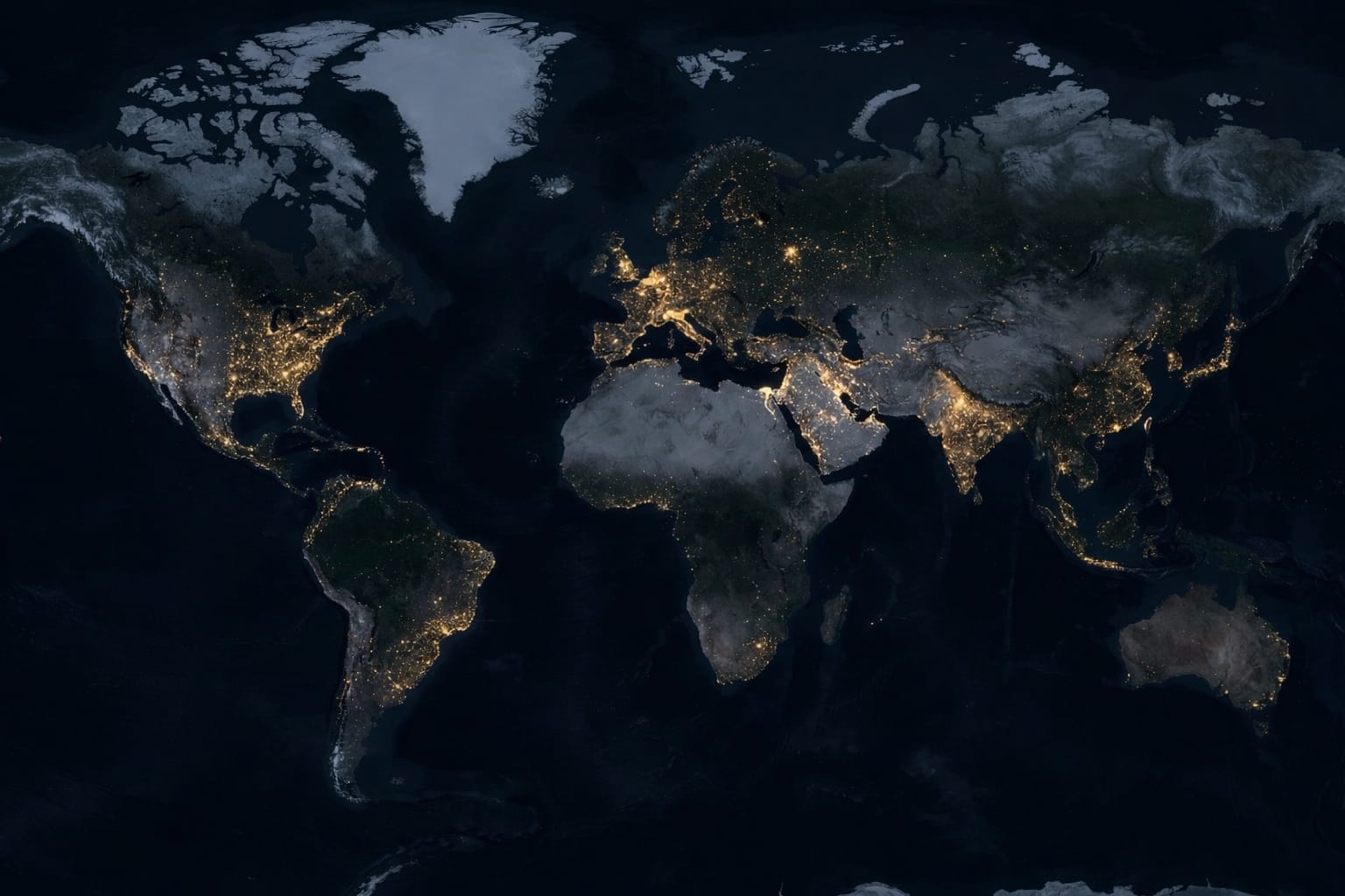
OpenPlanet is a high-resolution climate intelligence engine. We bridge the critical gap between macro-level atmospheric science and block-level human vulnerability.
The Core Problem
The Spatial Data Gap
In 2021 and 2022, unprecedented "Heat Domes" across North America and Europe claimed tens of thousands of lives. In these tragedies, a glaring systemic failure was exposed: The disaster was not a failure of weather forecasting; it was a failure of spatial data translation.
National meteorological agencies accurately forecasted extreme temperatures days in advance. Yet, local governments and emergency responders were caught blind. They knew a region would be hot, but they lacked the localized data to pinpoint exactly which specific neighborhoods and concrete-dense urban heat islands would cross lethal physiological thresholds.
OpenPlanet was engineered to ensure local decision-makers, educators, and planners are never caught blind again.
Our Philosophy
Thermal Risk & Survival
Honesty in engineering is our core principle. OpenPlanet does not model floods, sea-level rise, or hurricanes. We are hyper-focused on the deadliest, most under-reported climate threat: Extreme Heat and Thermal Vulnerability.
While the current climate analytics market focuses heavily on forecasting financial asset damage for insurers and corporations, OpenPlanet operates on a fundamentally different philosophy: People Over Property.
We actively shift the analytical focus away from structural real-estate damage, and toward human survival, physiological wet-bulb thresholds, and localized infrastructure stress.
The Architecture
Edge-Computed & Transparent
Planetary climate models are traditionally too heavy and expensive for local planners. We solved this compute bottleneck with a radically transparent engine:
The Genesis
Democratizing Survival Data
OpenPlanet was built to answer a singular question: Why is high-resolution climate intelligence still inaccessible to the places that need it most?